A

"Griaß Eich!" (Hello! in Tyrolean dialect)
This thesis project is a collaboration between Viktoria Kurstak and Anneke Gerdes.
Guided by Care, Function and Use as Commons, our project addresses a fragile alpine territory shaken by climate change: as glaciers retreat and water grows scarce, water becomes a shared resource to collect, connect and store. An open “Stüberl” (living room) for the local community emerges - grounded in transformation, adaptation and social resilience.
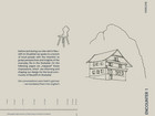
Located in Neustift im Stubaital, Austria, this thesis investigates how an alpine community can re-establish a relationship with the land under conditions of climate change and tourism dependency.
Architecture should act as a socially effective practice of care, repair and coexistence. Through mappings, ethnographic observations and site-specific interventions, we develop a network of shared spaces and water infrastructures that support year-round use, collective resource management and local resilience.
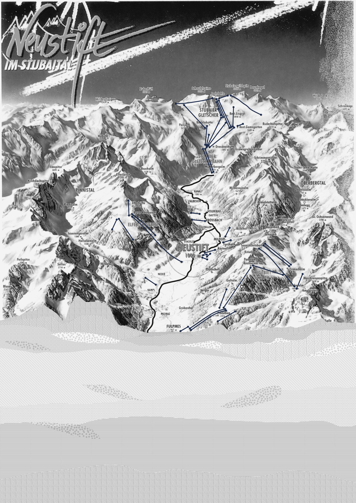
Neustift im Stubaital


The Stubai Valley has been profoundly transformed by tourism. What was once a landscape structured by seasonal agricultural cycles and local resource economies has become increasingly dependent on winter sports, external investment and peak-season consumption. At the same time, glacier retreat, changing precipitation patterns and rising temperatures expose the limits of this model.
Contextual Mappings


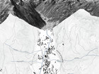
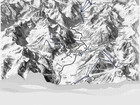
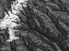
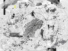
The project began with two parallel investigations. Atlas 1 established a theoretical framework, examining the historical transformation of the Stubai Valley from a productive landscape shaped by blacksmithing, agriculture and seasonal practices into a territory increasingly organised around tourism.
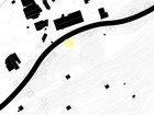
Atlas 2 translated these questions into a series of mappings. By tracing glacier retreat, water systems, settlement patterns and the changing relationship between the valley and the mountain, the maps revealed the spatial consequences of environmental and economic transformation. Together, they formed the basis for identifying sites and opportunities for intervention.
Interviews
Site visit Observations and Atmospheres


Neighbours and Mappings


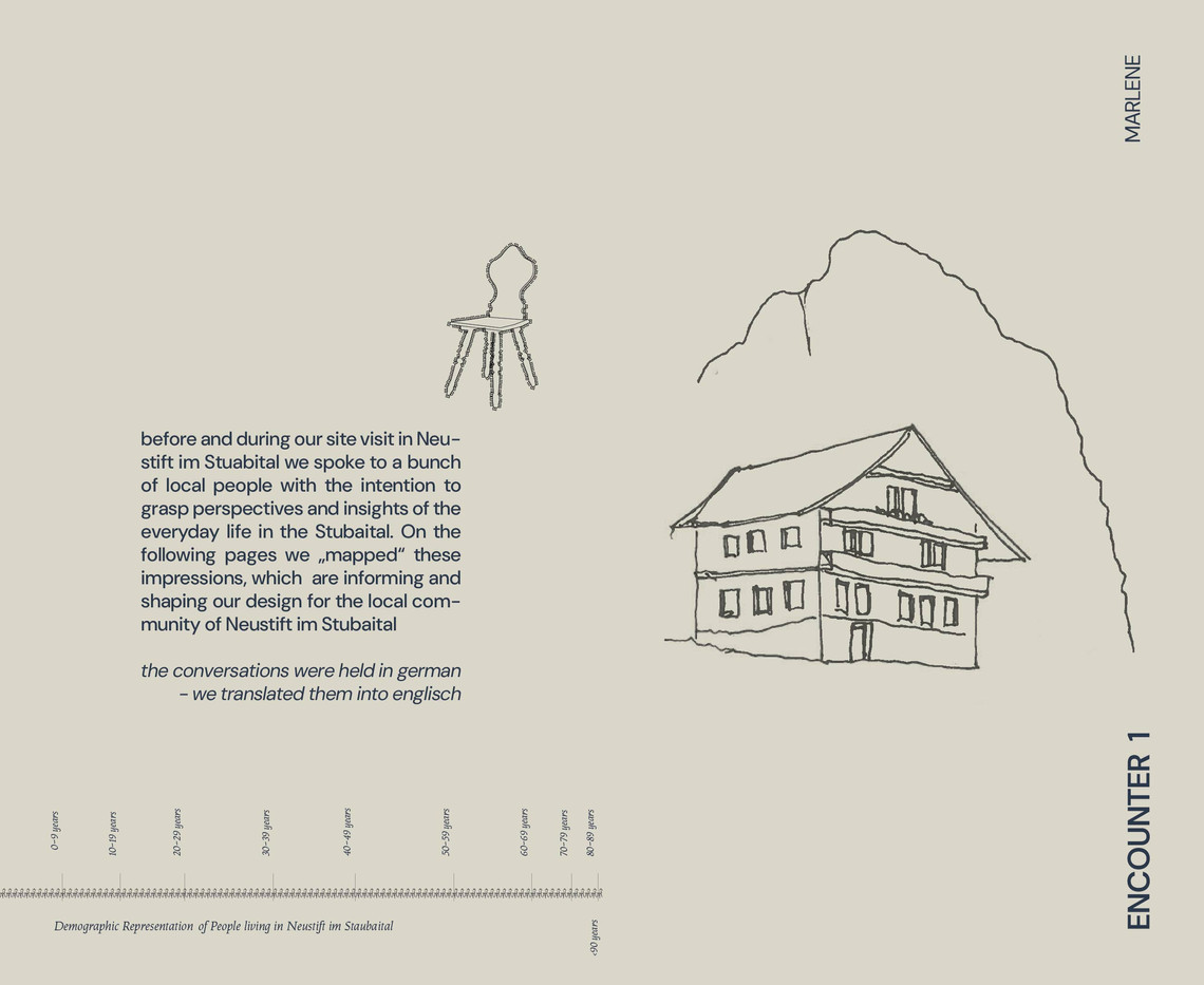
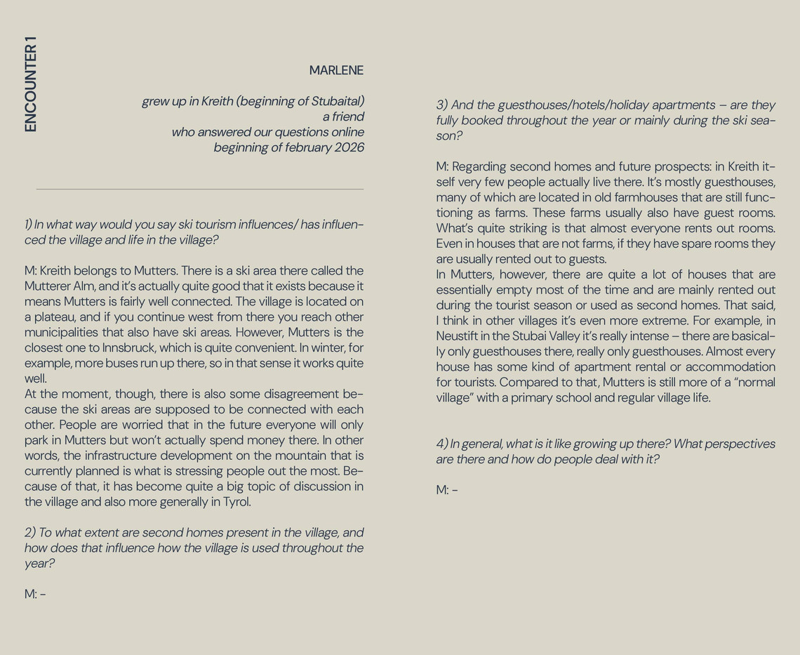
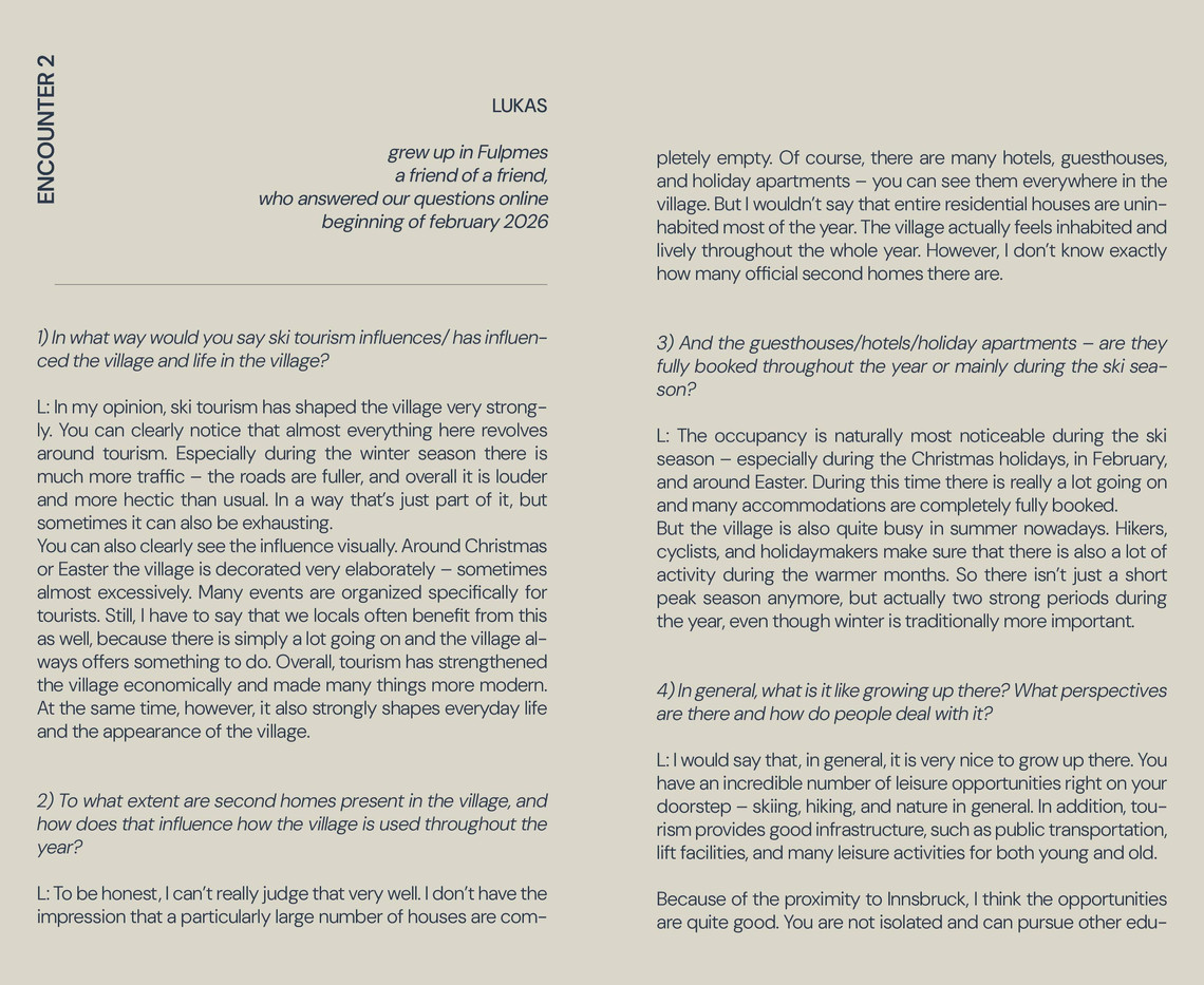
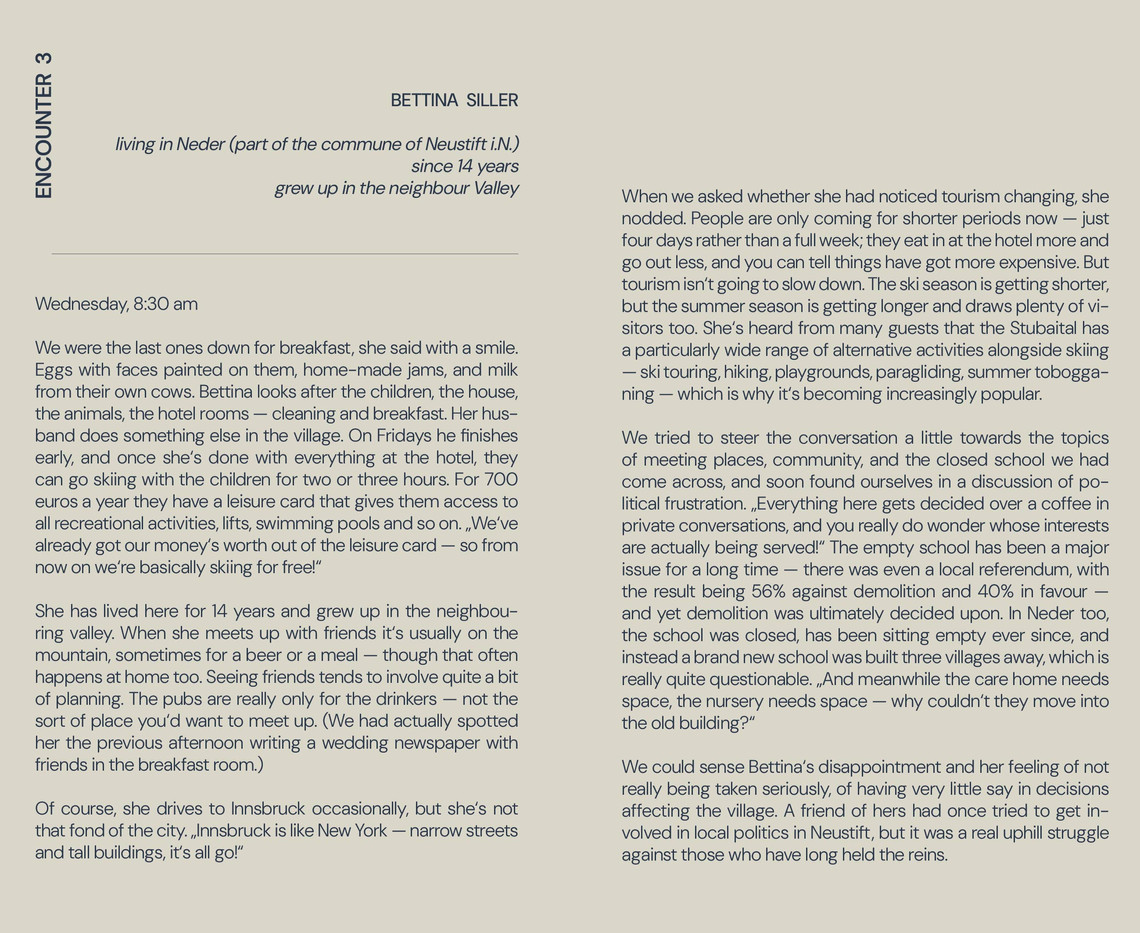
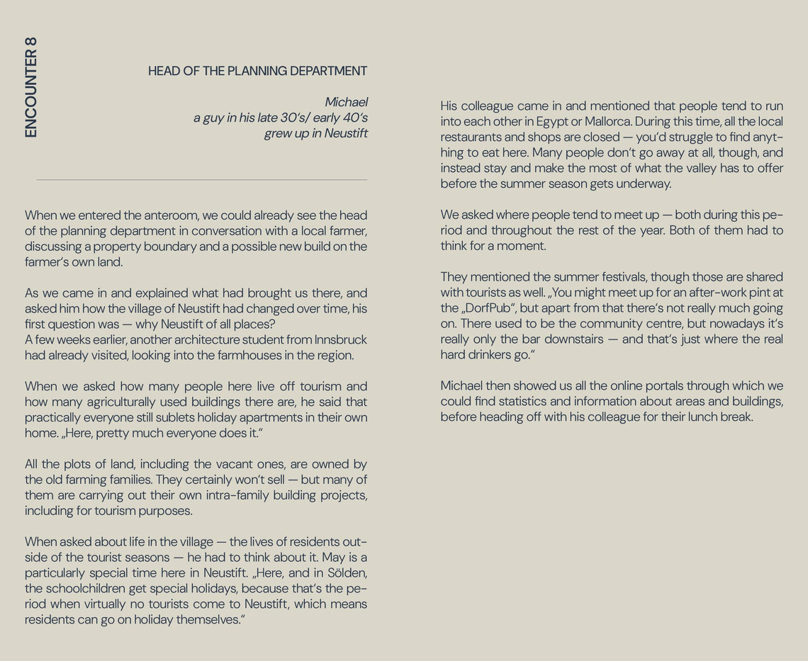
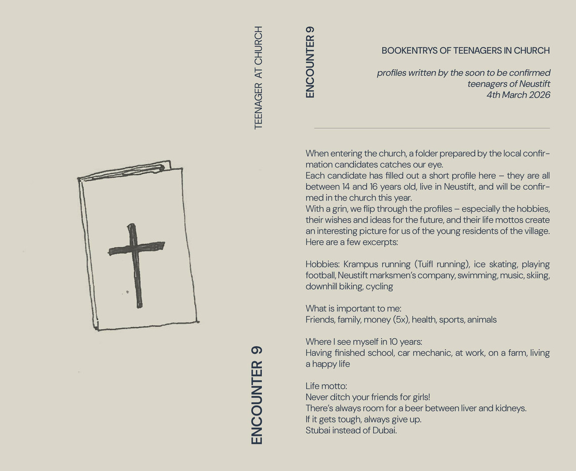
Before and during our site visit to Neustift im Stubaital, we conducted a series of ethnographic interviews with local residents to gain insight into everyday life, local practices and the sense of community within the valley. A recurring topic was the lack of spaces for social encounters and informal gathering beyond tourism-oriented programs.
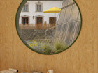
We mapped, photographed, and visualised the impressions and observations gathered along the way, allowing them to inform and shape our design response for the local community of Neustift im Stubaital.
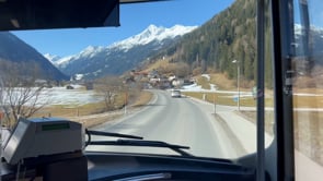

The starting point - the connector - the throughs


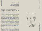
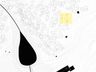
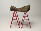
Our proposed acupunctures mark points along the stream, and water becomes the element that shapes the programs we propose. Flowing from the mountains into the valley, it links different elevations, seasons and ways of life. Existing troughs, once used to collect and distribute water, became the starting point for a network of three interventions along the stream. Water is understood as a medium that structures encounters, collective use and the relationship between mountain, the valley and its inhabitants.
The interventions along the stream

01 Bagno Comunale


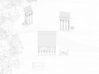
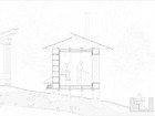
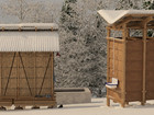
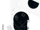
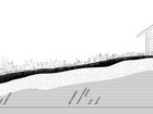
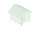
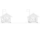
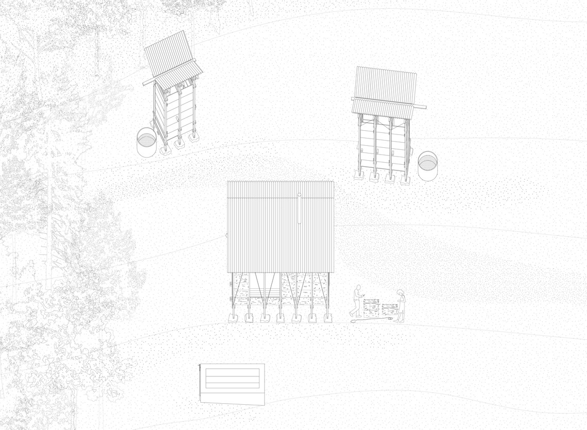
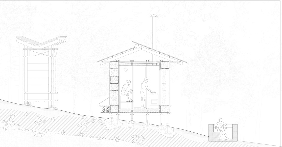
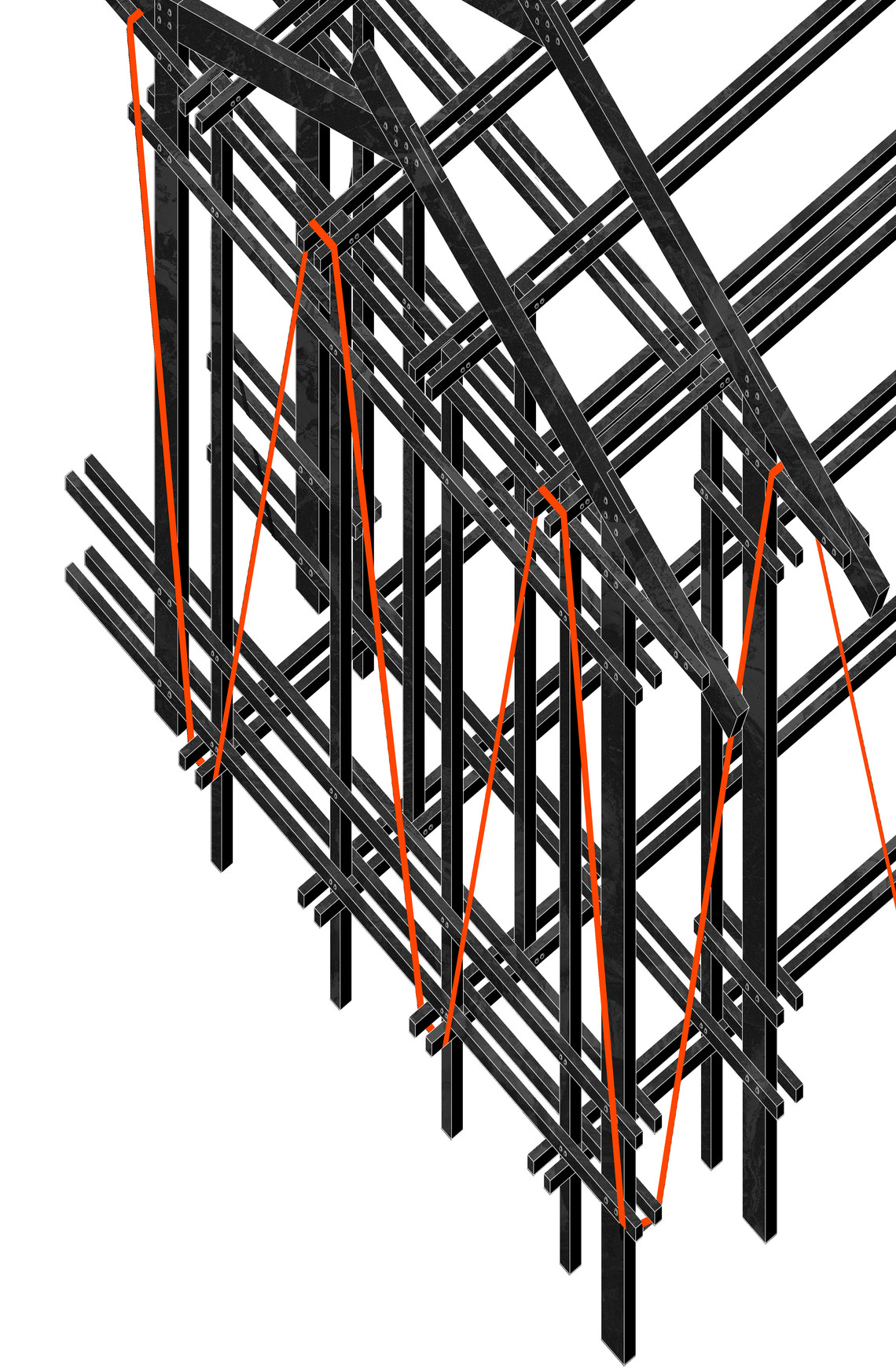
The first intervention is located around 100 meters above the village, overlooking the valley. A family of three infrastructures - a sauna, a bathroom and a changing room - is organised around a trough that collects mountain water. Used as a cooling basin after sauna sessions, the water is temporarily retained before being manually released back into the stream. Together, the structures create a place for bathing, gathering and seasonal rituals.
02 Common Grounds


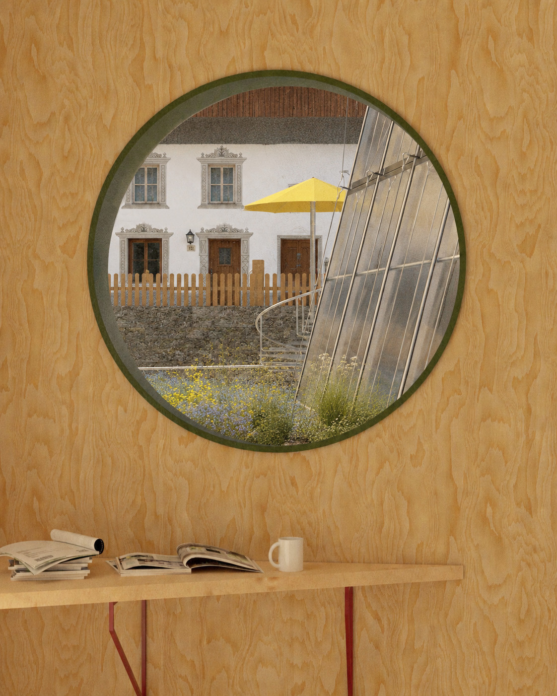
Details and Visualization


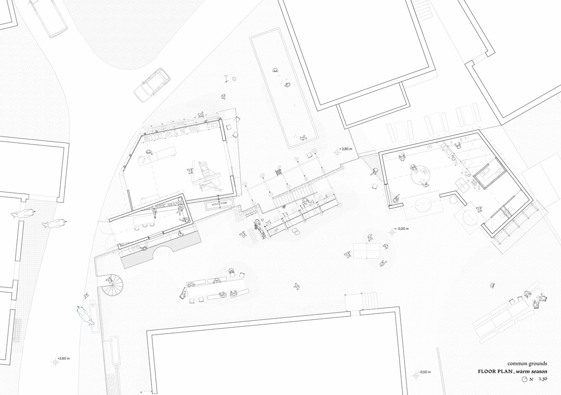
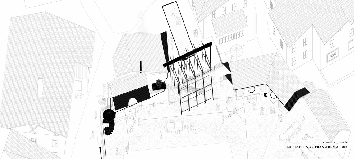
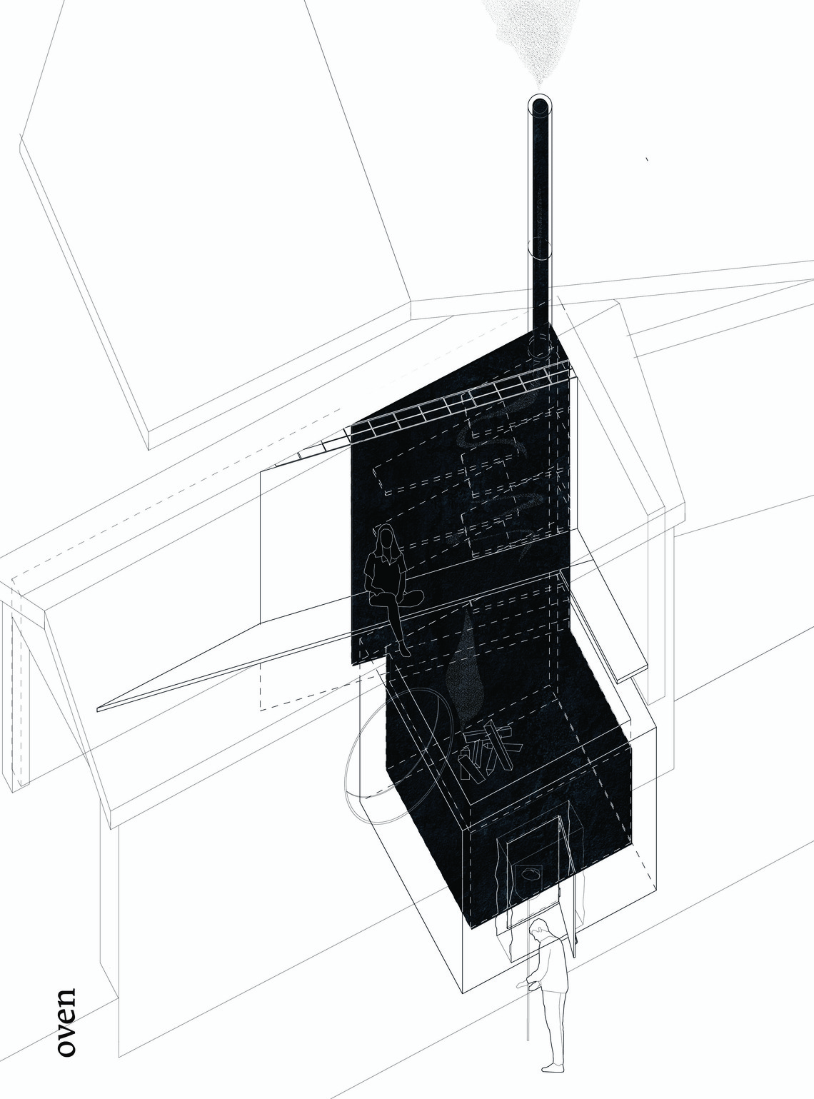
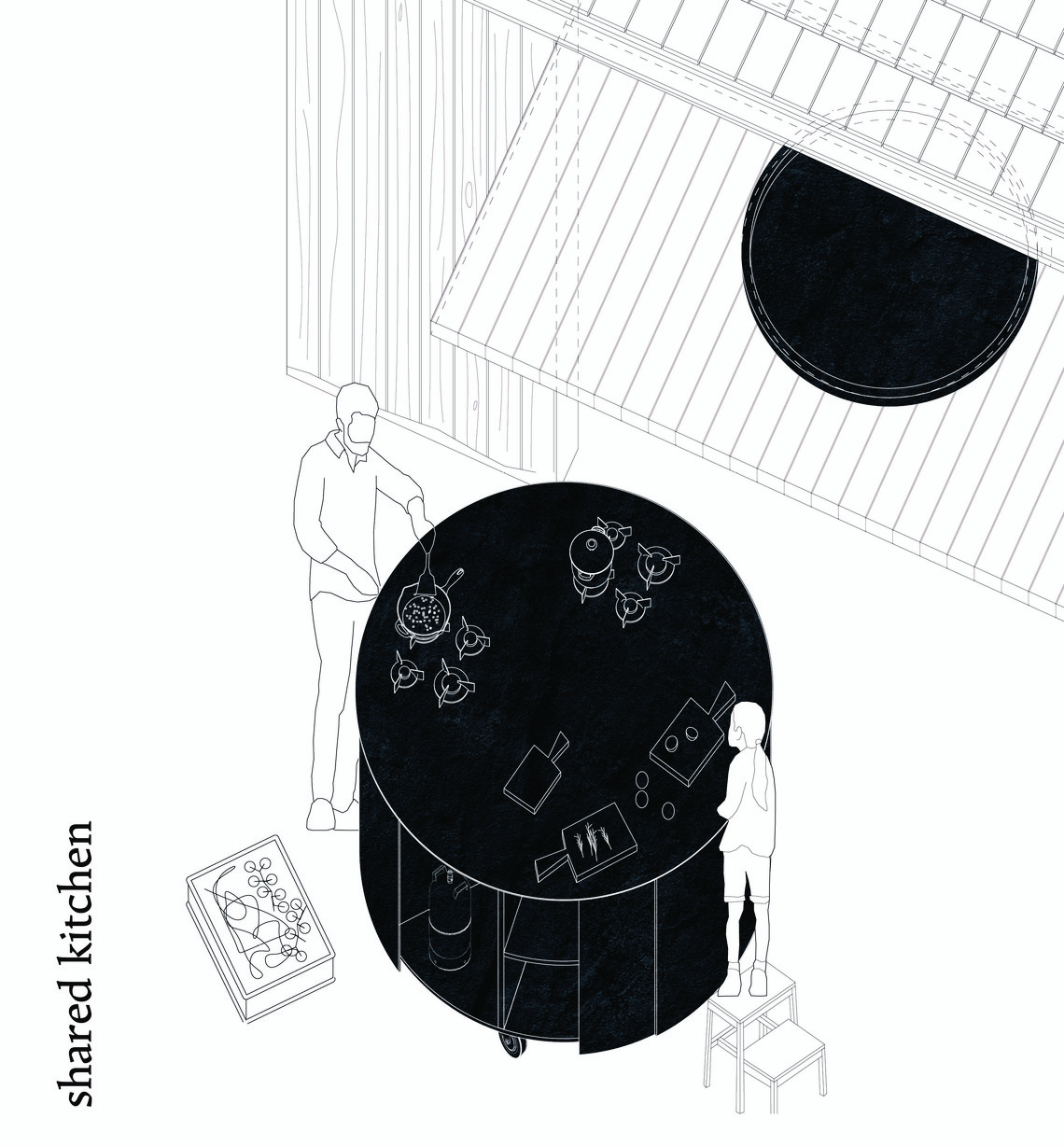
On the site of our main intervention, we aim to bring together different programs that encourage gathering within the local community. The proposal leans on practices that foster social interaction - baking, cooking, playing, and sharing meals collectively - while learning from one another and practicing care for each other.
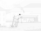
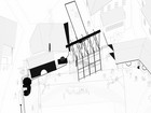
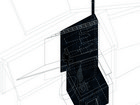
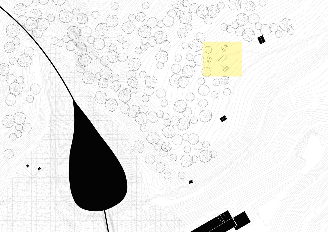
The site we are working on consists of a conglomerate of three existing buildings into which we intervene. These are complemented by a second staircase, a water infrastructure, and roof extensions.
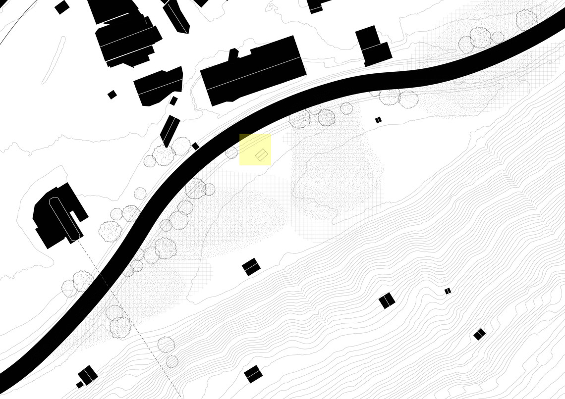
03 Cowmon


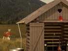
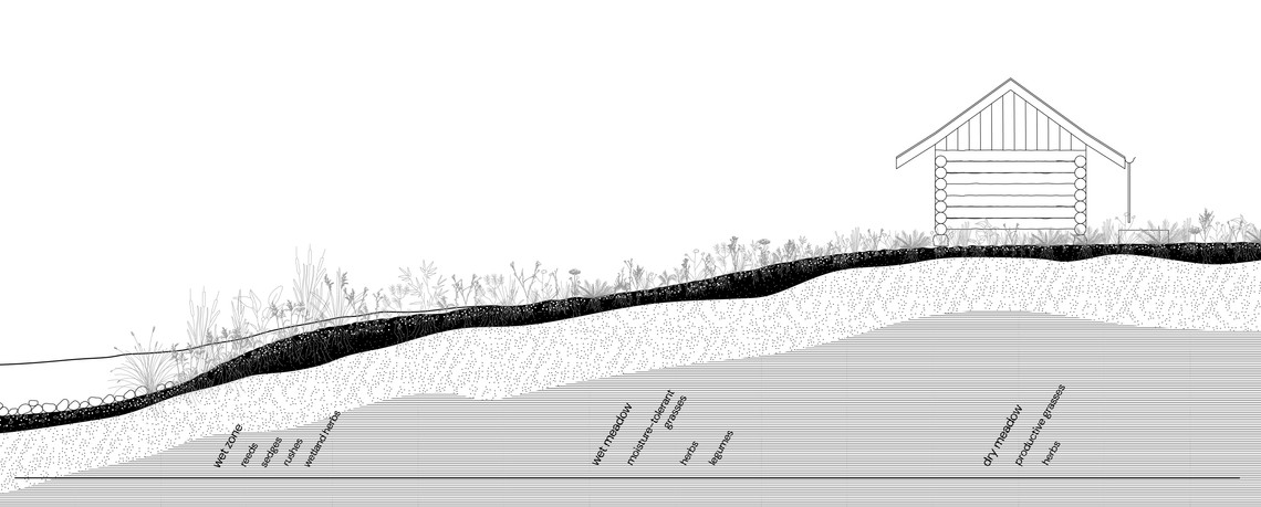
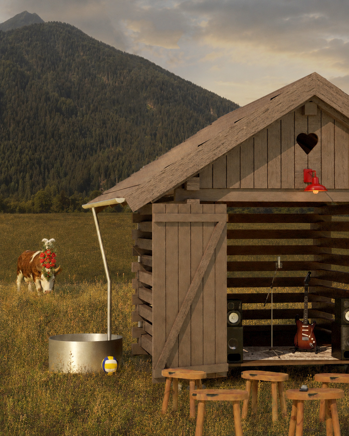
By reintroducing seasonal flooding, the intervention slows down water flows, supports groundwater recharge and promotes biodiversity within the meadows. Working with natural cycles rather than against them, it strengthens the ecological resilience of the valley landscape.
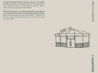
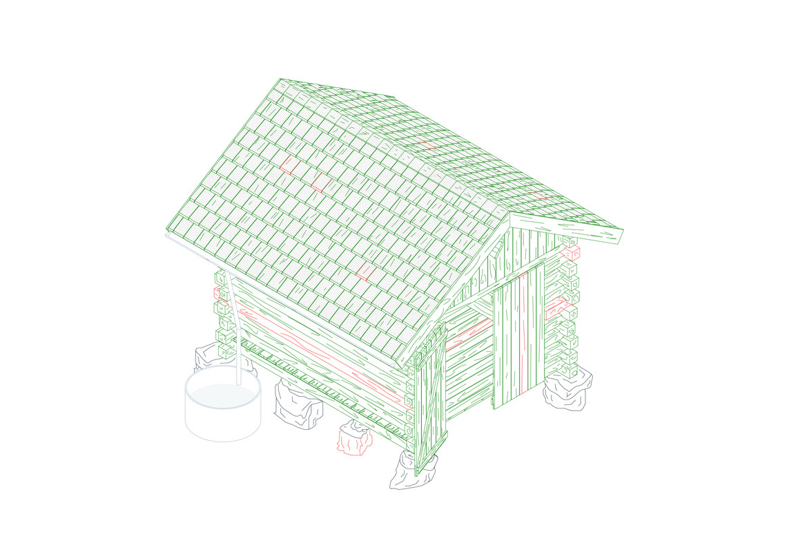
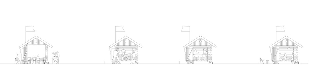
During periods when the meadows are not flooded, the existing huts are activated as social spaces for small concerts, film screenings, cheese tastings and other collective activities.
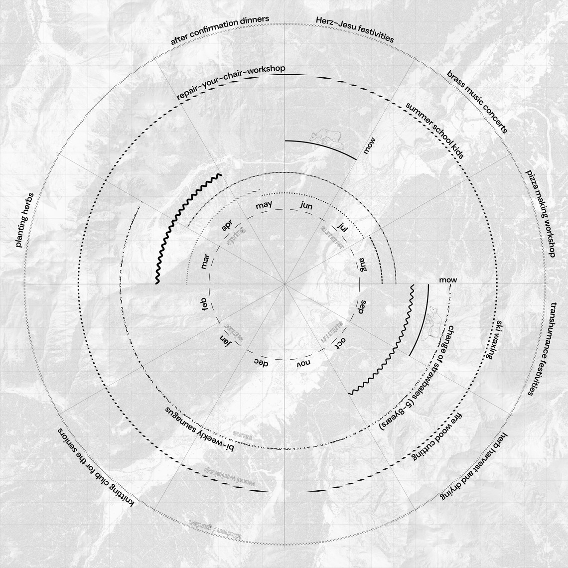
Seasonal programs for the interventions

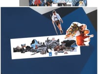
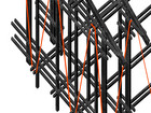
A series of scans documents the evolving design process. Capturing drawings, models, notes and material experiments, they form an archive of decisions that reveals how the project gradually took shape.


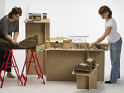
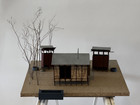
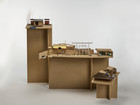
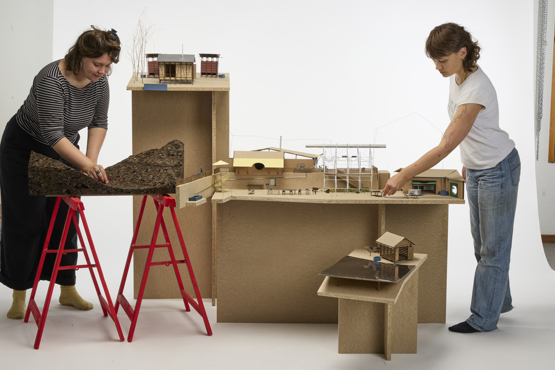
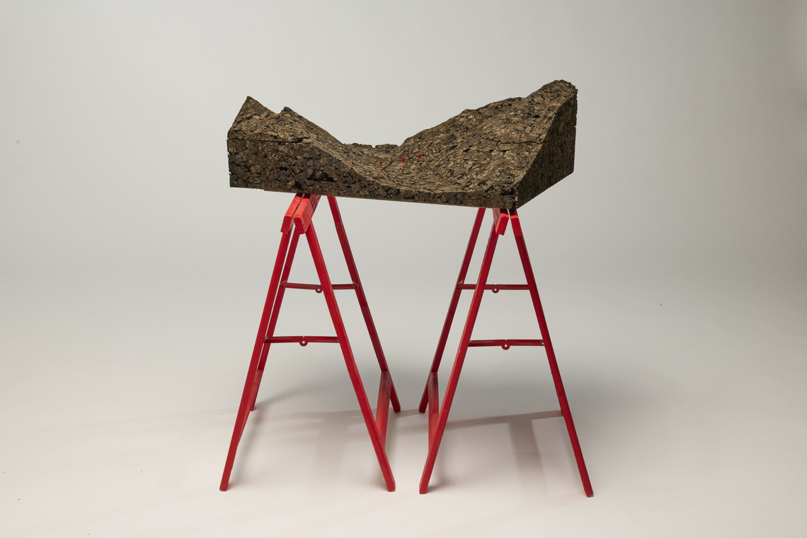
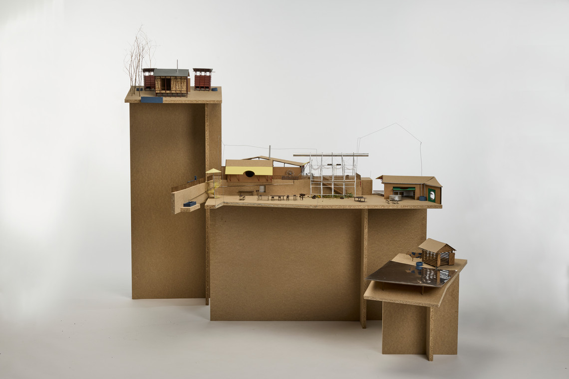
The model series consists of one site model and three intervention models at a scale of 1:33. Existing structures are represented in brown, while coloured elements indicate the proposed additions. Together, the models expose three distinct approaches to adapting, extending and reinterpreting vernacular structures within the alpine context of Neustift.